Case studies
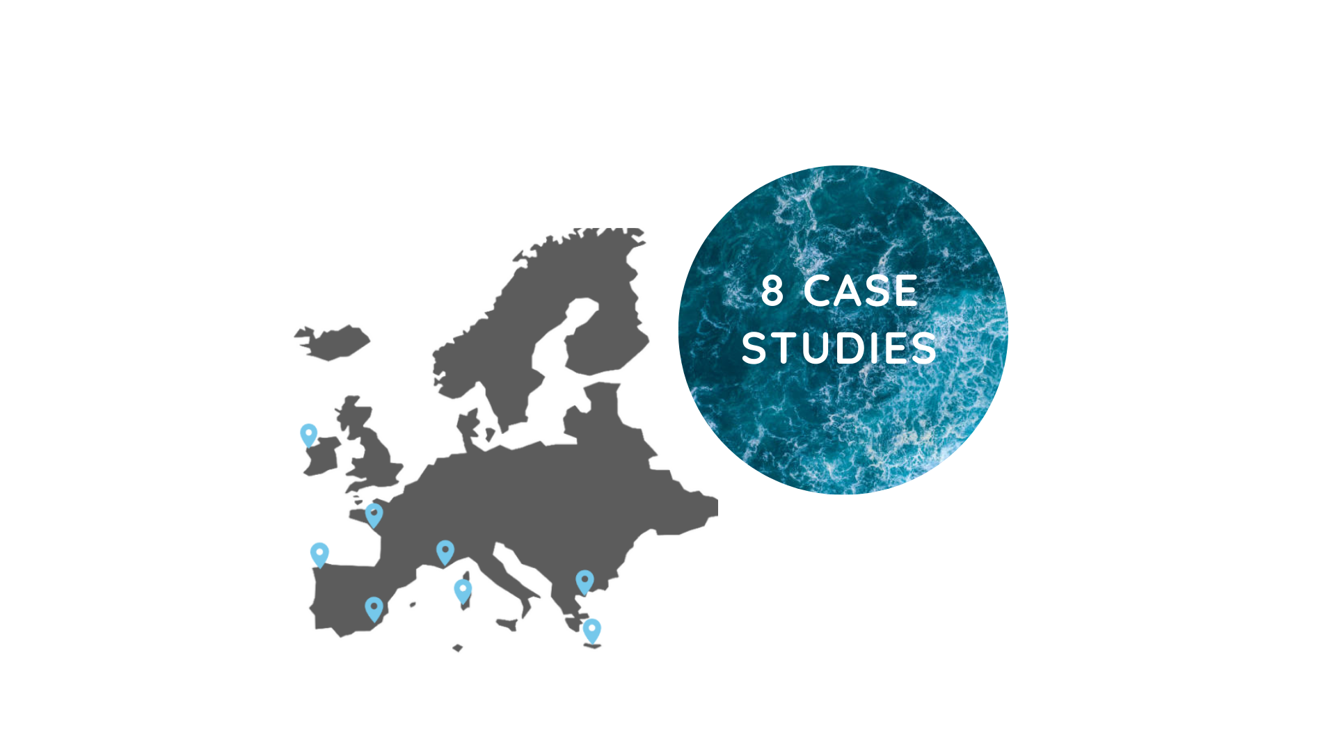
The project is based on a bottom-up approach within 8 case studies
REGINA MSP approach combines reviewing existing documents, interviews & participatory workshops with stakeholders, identification of data needs at the regional level, ocean literacy, facilitating a community of practice at the regional level & trainings of administrative officers.
To ensure a bottom-up approach the general analysis at the European level (under the auspices of the Conference of Peripheral Maritime Regions) is coupled with an in-depth analysis at the level of 8 regional case studies chosen in 5 countries (Ireland, France, Spain, Italy and Greece) pertaining to 2 sea basins (Atlantic and Mediterranean).
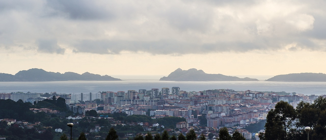
Galician coast, North Atlantic Marine Demarcation, Spain
A strong legacy & a variety of uses
The Galician coast, North West Spain, represents almost a third of all Spanish coasts with a length of about 1,650 kilometres (800 km of cliff coast and 300 km of beach). The shoreline is characterised by coastal inlets such as estuaries called “rías” which are high productive ecosystems. More than 60% of its population is concentrated in the coastal areas and it has more than 80 fishing towns. The region consists of 6 ports, among which the Port of Vigo stands out as being one of the European’s leading fishing ports. There are also more than 120 small ports under the umbrella of the Regional Ministry of the Sea, whose facilities are used by more than 60 fishing guilds and 1,300 aquaculture auxiliary boats. Approximately 50 marinas are located along its coasts.
The regional government of Galicia, as part of the Spanish North Atlantic Demarcation, has provided relevant contributions during the development and the consultations processes of the national MSP (Planes de Ordenación del Espacio Marítimo, POEM).
- 9,250 fishing boats, 3,400 mussel rafts and 6,000 shellfish gatherers that mainly operate inside the Rías
- 1 national park composed of 2 small archipelagos
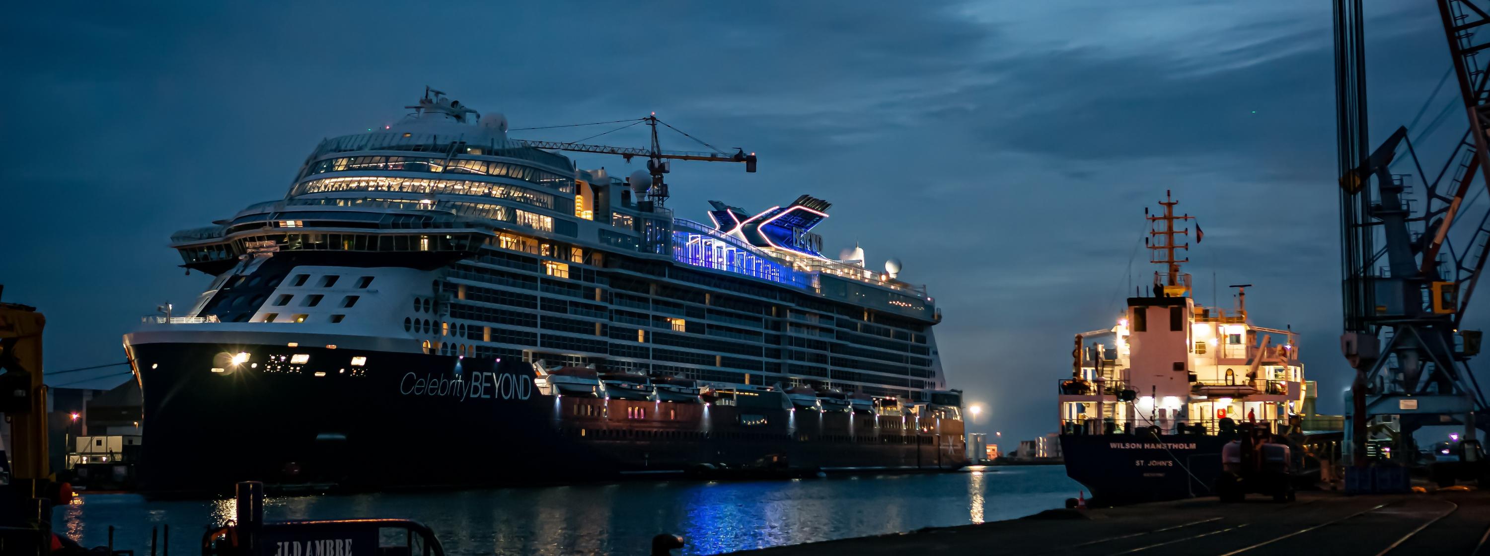
Pays-de-Loire Region, France
A 80-turbine offshore wind farm
The region has a diversified maritime economy (fishing, shellfish, tourism & salt farming), with the leading port on the French Atlantic coast : Saint-Nazaire. Its industry relies on shipbuilding with one of the world leaders of highly complex ships and offshore installations, nautical sector and marine energy. The first operational commercial offshore windfarm in France is located in the region’s coastal waters nearby Saint-Nazaire. Another offshore windfarm is under development in the area. The Region also benefits from a remarkable coastal biodiversity linked to the proximity of the Loire and the Vendée coastal rivers and canyons with cold corals further offshore.
The Region is involved in MSP process in a number of ways, including restoring water quality, strengthening and developing maritime sectors of excellence and supporting knowledge and acculturation related to the sea. Particularly, the Region is mobilised for the implementation of the action plan of the National MSP in relation with marine energy, decarbonisation, tourism and fishing activities.
- 1.15 billion euros of sales in the nautical industry
- 450 km of coastline
Sardinia Region
Participative assessment of conflicts in Northern Sardinia, Italy
Sardinia is the second-largest island in the Mediterranean Sea, after Sicily. everal protected areas are located in the North Sardinia including Asinara, Maddalena and Capo Testa. Many activities are co-existing; aquaculture, fishery, coastal, tourism & shipping. Northern Sardinian coasts are included in the Pelagos Sanctuary forMediterranean Marine Mammals, a Marine Protected Area, that covers a surface of about 84,000 km2 aimed at the protection of marine mammals. In 1997 the Asinara island became a national park after having been a high-security prison since 1885. This has allowed the maintenance of peculiar Mediterranean flora and fauna, making of the island one of the most uncontaminated marine ecosystems of the Mediterranean Sea.Sardinia region contributed to the Italian MSP plans and is developing zoning, spatial & regulation measures for its territorial waters.
- 3.5 million of tourists per year in the area
- 15 aquaculture areas
- Small scale fisheries have an important socio-cultural value for the area important socio-cultural value for the area
- 2 national parks, 3 marine protected areas and several Natura 2000 sites
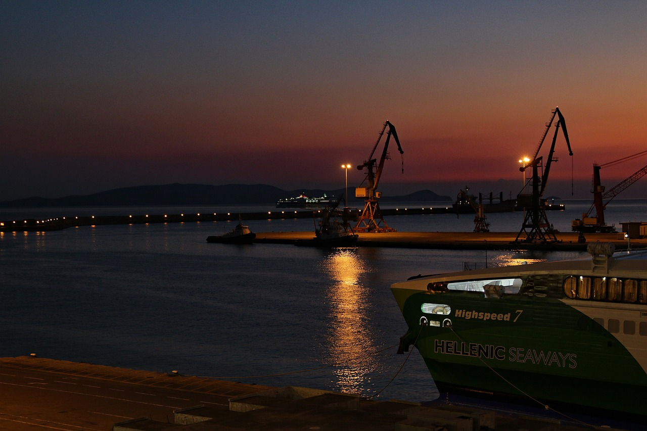
Crete Region, Greece
State and region co-managing multi-use in the marine space
The region of Crete is an internationally prominent tourism destination. It is also of international interest in the energy sector, given its strategic location, the huge wind and solar resources. Lately, since energy issues became critical, a significant market interest ermerged to develop approximatively 5 offshore wind farms in the region. This has boosted the elaboration of the Marine Spatial Planning of the Crete “Marine Unit”, as previewed by the draft National Spatial Strategy.
The marine area of Crete region is part of the Crete Sea (ΘΧΕ 3), for which a Maritime Spatial Plan will be elaborated in the near future, provided that financial resources will be ensured.
- Crete is the most populated Greek island with 634,930 people in 2019
- Its coastline represents 1,046 km
- Crete’s coastal zone is a place of natural and cultural heritage where many sites are identified
- 65.8% of northern coast of Crete has been intensely eroded
- The port of Heraklion, the capital of Crete region, is the third largest in Greece after Piraeus and Rafina
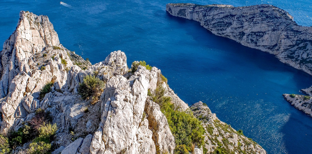
Provence Alpes Côte d’Azur – PACA, France
A historical maritime region facing sea preservation and blue growth challenges
The region has a millenary maritime history and relies on the sea to strive. It has 3 coastal metropolis, 3 trade ports, 135 fishing and leisure ports and numerous seaside resorts. It thus faces huge challenges in terms of coastal and marine biodiversity protection and restoration on one hand, and tourism and blue economy on the other hand.
The region has been involved in the definition and in the implementation of MSP process at the French Mediterranean basin level and takes part in the MSP governance. The PACA region took advantage of this process to reaffirm its maritime policy (clean ports, coastal waters’ quality, Posidonia meadows restoration).
- 1,000km of coastline
- maritime jobs account for 6% of regional employment
- 2 national parks including MPAs within their boundaries
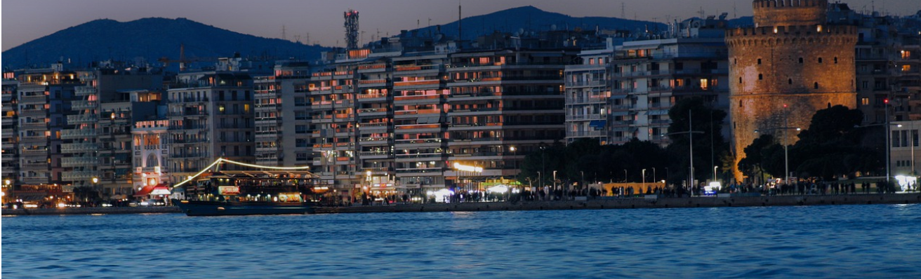
Central Macedonia Region, Greece
Blue growth in a sensitive ecosystem with of semi-closed gulfs
Central Macedonia Region (CMR) is in the north Aegean Sea, which is characterized by semi-closed gulfs and other coastal formations (deltas, estuaries, etc.) containing a rich marine biodiversity. Two marine protected sites as well as underwater antiquities are found in the coastal zone of CMR. Thessaloniki is the second largest city of Greece and is known for being an international transport node. Tourism and aquaculture are other important sectors. In this area, MSP is to achieve optimal organization and growth of existing marine sectors (especially marine and coastal tourism), without undermining the flow of ecosystem services in the sensitive semi-closed gulfs.
The marine area of Central Macedonia Region is part of the North Aegean Sea (ΘΧΕ 1), for which a Maritime Spatial Plan is pending adoption. This is the first (out of 4) MSP plans to be adopted in Greece.
- Thessaloniki Metropolitan area spreads along more than 40 km of coastline,
- About 1/3 of the coastal zone of CMR is urbanised (tourism-oriented development)
- 80% of the mussels’ production of Greece is produced in Thessaloniki's Gulf
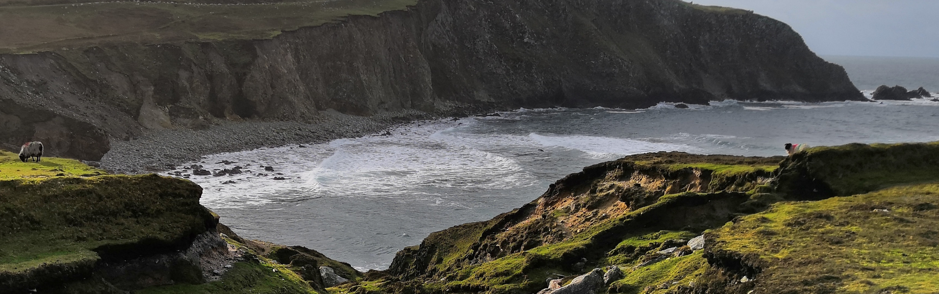
County of Mayo, Ireland
The county is predominantly rural and boasts a scenic coastline. The Tourism Action Plan for Mayo identifies marine leisure tourism as an economic opportunity. Future plans will look at opportunities to promote Mayo’s Blueways. Aquaculture is an important industry. The sector is export-oriented with the majority of aquaculture products going to the EU. Despite the increases in sales value, employment in the Northwest has declined.
County Mayo has a historical maritime heritage and coastal identity. The remote and rugged nature of the coastal landscape & limited development has resulted in a pristine environment with a high number of Natura 2000 sites. There are a number of small islands located off Mayo including Ireland’s largest island: Achill Island (pop 2,700). The ability to retain populations on the islands is something that should be addressed in marine planning to ensure that this unique cultural heritage is sustained & economic opportunities for island communitie are maintained.
The Maritime Area Planning Act 2021 legislates for Designated Maritime Area Plans (DMAPs). A DMAP is a forward-looking sub-national marine plan that will contribute to the overall management of the maritime area.
- Northwest region generated the second largest sales value in 2021 (salmon and oysters)
- Mayo is the county with the longest coastline in Ireland, with 1,168 km or approximately 21% of the Irish coastline.
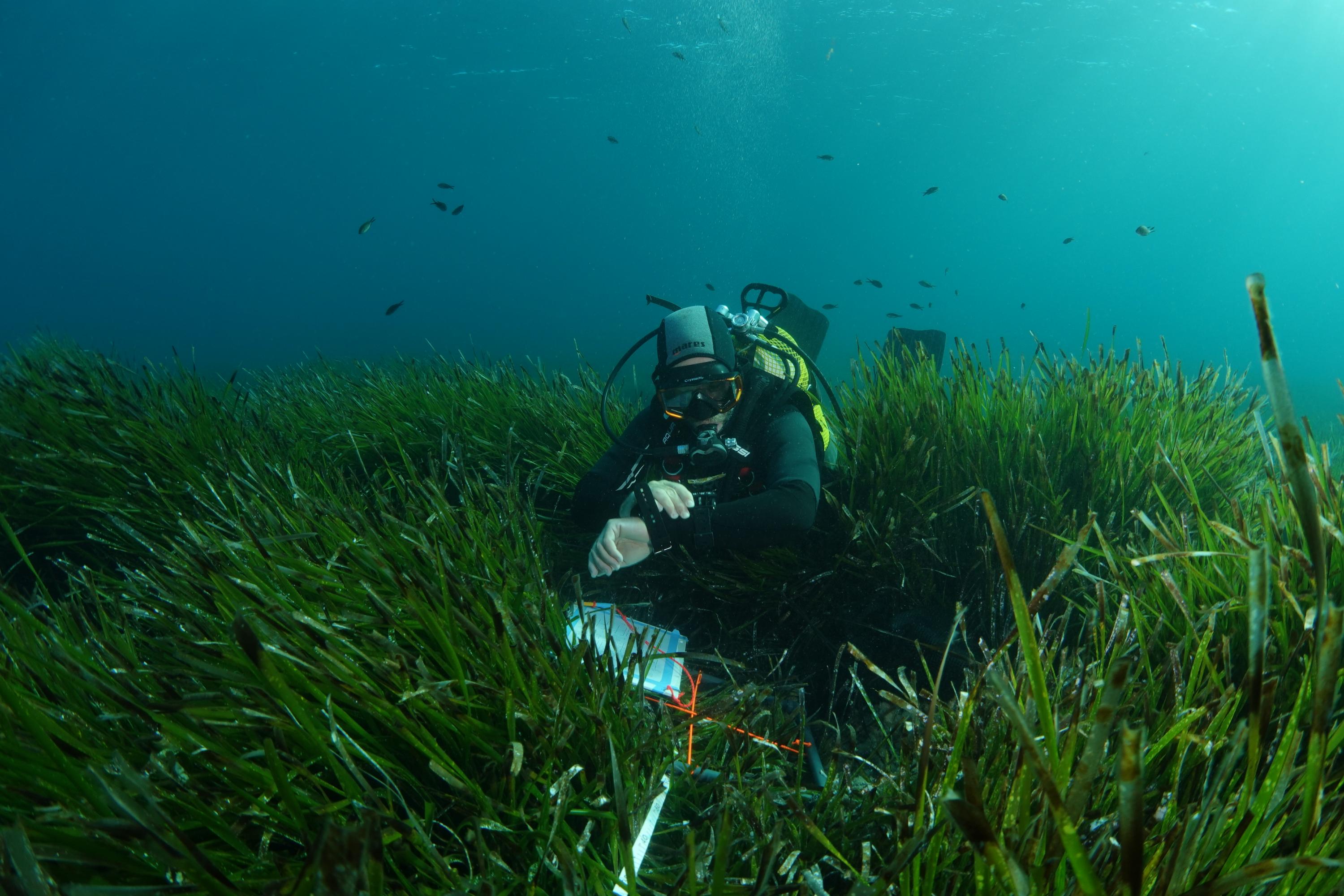
Region of Murcia, Levantine-Balearic Marine Demarcation , Spain
A rich biodiversity with the presence of numerous species and habitats
The region of Murcia is located in the south east of the Iberian Peninsula. It has approximately 275 km of coastline with a high concurrence of different types of maritime uses such as navigation of large commercial vessels, anchorages, military manoeuvres, aquaculture, etc. Mar Menor (minor sea) is a coastal saltwater lagoon in the Iberian Peninsula located south-east of Murcia. The Mar Menor is part of a Specially Protected Area of Mediterranean Importance and is a Special Protection Area (ZEPA in Spanish) for bird life. The region of Murica has a rich biodiversity with the presence of numerous species and habitats, many of which are listed in the European Habitats and Birds Directives. Furthermore, the region of Murica presents valuable underwater cultural heritage sites. Several species can be found such as Lithothamnion corallioides & Phymatolithon calcareum (part of maërl beds) as well as seagrass meadows of Posidonia oceanica & Cymodocea nodosa.
The Region of Murcia has a demand for a more detailed planning due to current and potential future conflicts between uses and marine conservation.
In 1994 the Mar Menor was included on the Ramsar Convention list for the conservation and sustainable utilisation of wetlands.
- It hosts one of the highest aquaculture productions at national level
- Important underwater cultural heritage